`Remember me on this computer` option
Select the `Remember me on this computer` option if you wish to be automatically logged on to the computer in future. Your account will remain active for 45 days. Please do not use the `Remember me` option if using a computer with public access or that is used by more than one person.
Seller information

Sold and shipped by
Return of order


View more related products to:
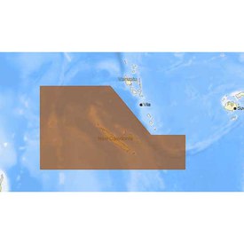
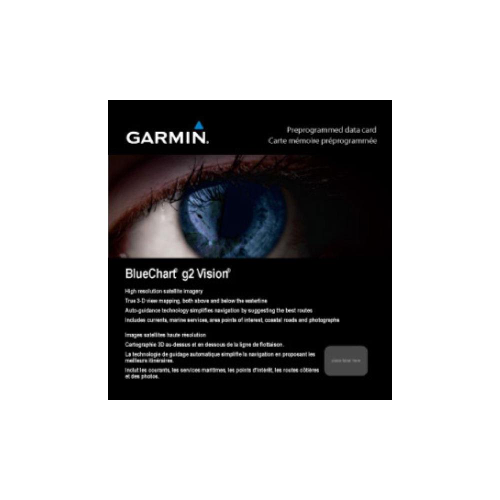
Do you want to sail or do you have a boat in the sea? BlueChart g2 Vision Nordics Small South is a device that helps you to know the exact position on marine maps. You will find a 3-dimensional perspective located above and below the waterline with high resolution images.
With this product from Garmin, you will find shaded depth contour, coastal lines, point probes, navigation aids, port plans, shipwrecks, restricted areas, among other points of interest. It also has Auto Guidance technology to suggest landscapes according to the destination. With Fish Eye you get a deep view of the seabed.
It is necessary to have a micro SD memory or SD card in order that the maps work properly. First, verify compatibility, review of maps can only be done from a HomePort computer
See your vessel’s precise, on-chart position in relation to navaids, coastal features and restricted areas with premium features found in this detailed marine mapping data. Includes all of the features of our BlueChart g2 product, plus 3-D perspective above and below the waterline, Auto Guidance, high-resolution imagery, and aerial photos of ports, harbors, marinas and landmarks.
Features:
- Shaded depth contours, coastlines, spot soundings, navaids, port plans, wrecks, obstructions, intertidal zones, restricted areas and IALA symbols.
- Seamless transitions® between zoom levels and more continuity across chart boundaries.
- High resolution satellite imagery for a realistic view of the land and water.
- Aerial photos of ports, harbors, marinas, waterways, navigational landmarks and other POIs.
- Auto Guidance technology searches chart data to suggest the best passage to a destination.
- MarinerEye view 3-D perspective for a quick, easy position fix.
- FishEye view 3-D perspective for an underwater view of the sea floor.
- Safety Shading* enables contour shading for all depth contours shallower than your defined safe depths.
- Fishing Charts* to scope out bottom contours and depth soundings with less visual clutter on the display.
- Plan and organize routes from your computer with HomePort (sold separately).
*Only available on compatible devices.
MicroSD/SD card Requirements:
- Make sure your device is compatible with this product before purchasing. Some map features will not work on nüvi devices.
- To view and use the maps on this card, you must have a device with a microSD/SD card slot. Maps on a prepared microSD/SD card can only be viewed on a computer with HomePort.
- Reduced price map updates are not available for these cards. If you want to update the maps, you must purchase a new card that includes the latest map data.
- The preprogrammed card package includes a microSD card and an SD card adapter.
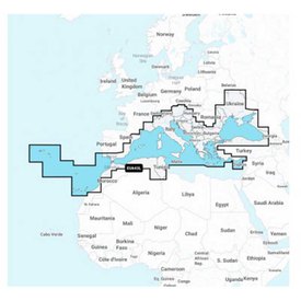
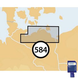
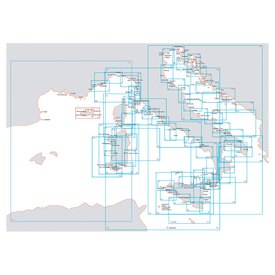
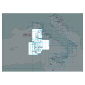
Coverage:
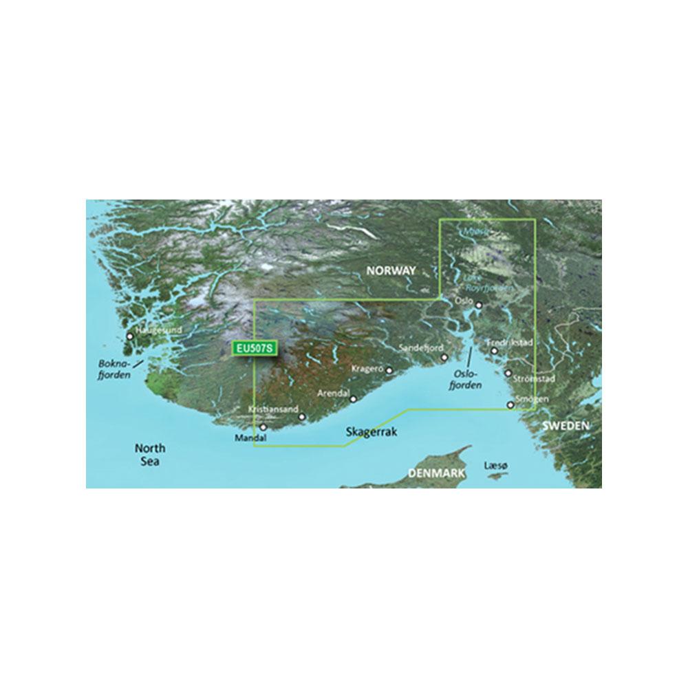
Detailed coverage of the Northern and Western coasts of Denmark from Ålborg Bugt to Cuxhaven, Germany. Also includes detailed coverage of the cities of Skagen, Thisted, and Esbjerg as well as the Jammerbugten water body.
Compatible Devices:
echoMAP 42dv
echoMAP 45dv
echoMAP 50dv
echoMAP 50s
echoMAP 52dv
echoMAP 55dv
echoMAP 70dv
echoMAP 70s
echoMAP 72sv
echoMAP 75sv
echoMAP 92sv
echoMAP 95sv
GPSMAP 1020xs
GPSMAP 4008
GPSMAP 4010
GPSMAP 4012
GPSMAP 420/420s
GPSMAP 451
GPSMAP 451s
GPSMAP 5008
GPSMAP 5012
GPSMAP 5015
GPSMAP 521
GPSMAP 521s
GPSMAP 527
GPSMAP 527xs
GPSMAP 551
GPSMAP 551s
GPSMAP 556
GPSMAP 556s
GPSMAP 557
GPSMAP 557xs
GPSMAP 6008
GPSMAP 6012
GPSMAP 620
GPSMAP 7012
GPSMAP 7015
GPSMAP 720
GPSMAP 721
GPSMAP 721xs
GPSMAP 7407
GPSMAP 7407xsv
GPSMAP 7408
GPSMAP 7408xsv
GPSMAP 7410
GPSMAP 7410xsv
GPSMAP 7412
GPSMAP 7412xsv
GPSMAP 750
GPSMAP 750s
GPSMAP 751
GPSMAP 751xs
GPSMAP 8008 MFD
GPSMAP 8012 MFD
GPSMAP 8015 MFD
GPSMAP 820
GPSMAP 820xs
GPSMAP 8500 Black Box
GPSMAP 8530 Black Box
Volvo Penta Glass Cockpit System
In waveinn we are dedicated to create high quality nautical and fishing products which will make your activity comfortable. Are you interested in buying Garmin BlueChart g2 Vision Nordics Small South Map? You are lucky, because at waveinn in the Electronics catalogue and Cartography category, we offer other nautical and fishing products that can complement your order. Place your order now and receive it in a few days.
Write a review about this product and earn CoINNs 
Write a review about this product
Tradeinn Retail Services as the data controller will process your data in order to respond to your query or request. You can access, rectify and delete your data, as well as exercise other rights by consulting the additional and detailed information on data protection in our Privacy Policy.

30-DAY
EASY & FAST RETURN

SECURE & SAFE
SHOPPING

SATISFACTION
100% GUARANTEED

LOWEST PRICES
GUARANTEED
Related products
Close
ABOUT waveinn

SHOP WITH CONFIDENCE
CUSTOMER SERVICES
4.6 / 5


By Verified Reviews
OUR TRIATHLON CLUB

DOWNLOAD OUR APP


Follow us on


Departments
Top Brands


Copyright 2009 - 2024 by waveinn. TRADEINN RETAIL SERVICES, S.L. CIF/VAT ES-B-17527524, C/ Pirineus, 9, 17460 Celrà (Girona), Spain. Terms & Conditions | Affiliate programs | Cookies policy | Privacy policy | Legal notice | Privacy policy social networks


 Returns
 Help & Contact
 Shops
Shops


 Other sports


 Legal information


 Pay in 3 interest-free instalments.