`Remember me on this computer` option
Select the `Remember me on this computer` option if you wish to be automatically logged on to the computer in future. Your account will remain active for 45 days. Please do not use the `Remember me` option if using a computer with public access or that is used by more than one person.
Seller information

Sold and shipped by
Return of order


View more related products to:
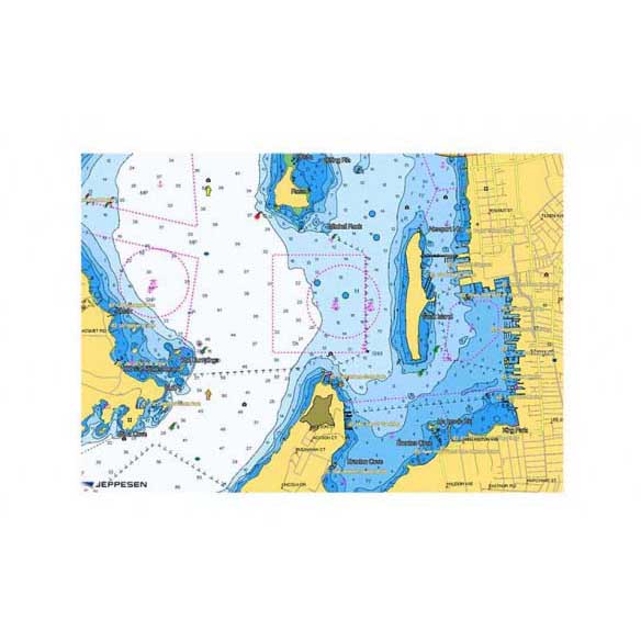
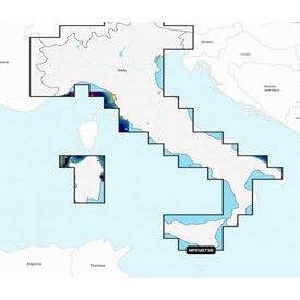
C-MAP 4D MAX+ is the latest evolution of electronic charting technology, combining award-winning vector chart data with exclusive Dynamic Raster Charts and the ability to view charts in 2D or amazing 3D presentation with high-resolution satellite imagery. Packed with innovative features designed to enhance every cruising, fishing or sailing experience.
- Compatible with top chart plotter manufacturers including, Furuno, Humminbird, Raymarine and Standard Horizon
- Local and Wide coverage available worldwide, and at a budget that suits your boating needs
- Ability to add future Value Added Data segments and features
Features:
FULL FEATURED VECTOR CHARTS:
- Provides a wealth of chart detail with the versatility to customize data layers and how they are viewed.
DYNAMIC RASTER:
- Traditional “paper chart” look with unique ability to access information on buoys, lights and other details.
3D VIEW:
- Stunning three-dimensional views of land elevation and bottom contours bring the world around (and under) your boat to life.
SATELLITE:
- High-resolution satellite imagery provides real-world reference, enhances situational awareness for coastal navigation.
HIGH RESOLUTION BATHY DATA:
- The highest available detail of underwater pinnacles, ledges and canyons that are magnets for offshore and coastal gamefish. Normally an additional purchase , High Resolution Bathy Data is now included in the price.
SPORT FISHING DATA:
- Provides angling intelligence for wrecks and reefs, Fish ID photos, fishing tips, updated regulations, state records and more. Normally an additional purchase (49 for Wide, 19 for Local), Sport Fishing Data is now included in the price.
EASY ROUTING:
- Automatically plots the shortest, safest route based on detailed chart data and user vessel information.
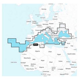
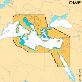
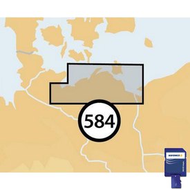
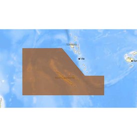
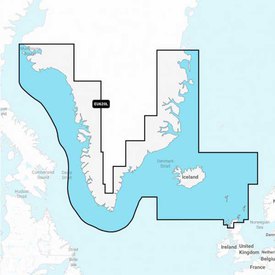
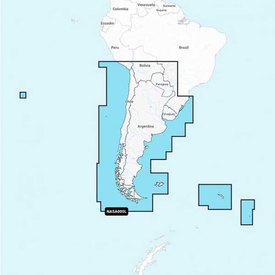
At this moment, the product C-map 4D Max Local Cape Flattery to Wyndham is in stock at waveinn. Find out what other nautical and fishing products, the brand C-map has at your online nautical and fishing store. Make any outfit your own with this season´s selection of Cartography models. At waveinn we stock the latest styles and designs of Electronics. Browse through our selection and find the nautical and fishing item that suits your needs.
Write a review about this product and earn CoINNs 
Write a review about this product
Tradeinn Retail Services as the data controller will process your data in order to respond to your query or request. You can access, rectify and delete your data, as well as exercise other rights by consulting the additional and detailed information on data protection in our Privacy Policy.

30-DAY
EASY & FAST RETURN

SECURE & SAFE
SHOPPING

SATISFACTION
100% GUARANTEED

LOWEST PRICES
GUARANTEED
Related products
$218.49
Close
ABOUT waveinn

SHOP WITH CONFIDENCE
CUSTOMER SERVICES
4.6 / 5


By Verified Reviews
OUR TRIATHLON CLUB

DOWNLOAD OUR APP


Follow us on


Departments
Top Brands


Copyright 2009 - 2024 by waveinn. TRADEINN RETAIL SERVICES, S.L. CIF/VAT ES-B-17527524, C/ Pirineus, 9, 17460 Celrà (Girona), Spain. Terms & Conditions | Affiliate programs | Cookies policy | Privacy policy | Legal notice | Privacy policy social networks


 Returns
 Help & Contact
 Shops
Shops


 Other sports


 Legal information


 Pay in 3 interest-free instalments.